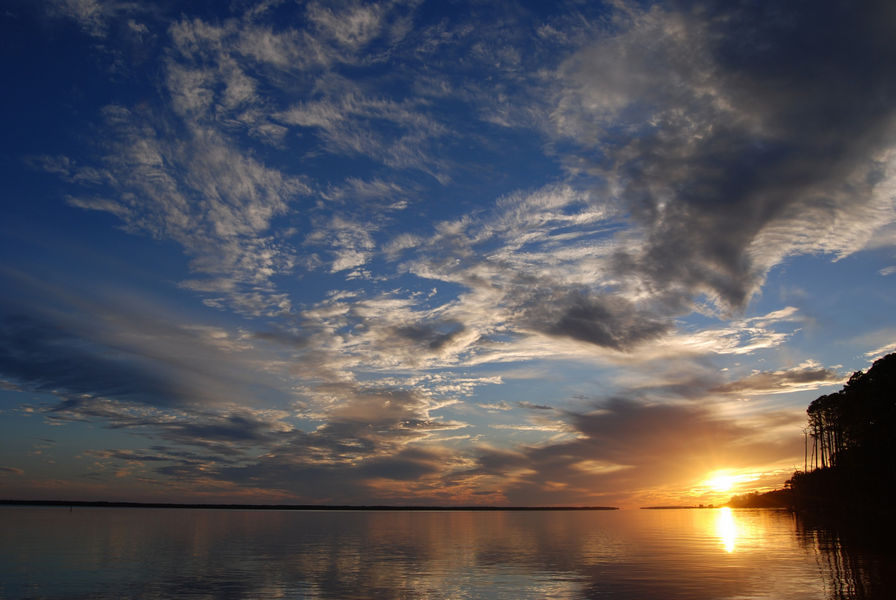
Apalachicola National Estuarine Research Reserve (ANERR) was designated in 1979. It is located in Franklin, Gulf and Calhoun counties, within one of the least populated coastal areas of the state. The Apalachicola River basin is only part of the larger Apalachicola-Chattahoochee-Flint River system, which drains an area covering approximately 19,600 miles, extending into the Blue Ridge Mountains.
The Florida portion contains about 2,800 square miles, and the population within Florida's basin is thought to be fewer than 100,000 individuals.
The boundary of ANERR includes the lower 52 miles of the Apalachicola River and floodplain as well as most of Apalachicola Bay. It includes lands managed by the U.S. Fish & Wildlife Service (USFWS), Florida Fish and Wildlife Conservation Commission, Florida Park Service, Northwest Florida Water Management District (NWFWMD) and DEP's Office of Resilience and Coastal Protection.
Of the uplands acreage within ANERR, the Office of Resilience and Coastal Protection manages 6,794 acres; the USFWS manages 11,938 acres (St. Vincent Island National Wildlife Refuge); the Florida Park Service manages 2,024 acres (St. George Island State Park); FWC manages 63,814 acres; and NWFWMD manages 36,241 acres.
The balance of the total acreage is open water, including Apalachicola Bay Aquatic Preserve, which encompasses 80,875 acres.
The Apalachicola National Research Reserve is a UNESCO World Biosphere Reserve, an internationally designated protected area meant to demonstrate a balanced relationship between people and nature.
Location
Franklin, Liberty and Calhoun counties
Acreage
234,715 acres
Contact
Jenna Harper, Manager
Apalachicola National Estuarine Research Reserve Environmental Education and Training Center
108 Island Drive
Eastpoint, FL 32328
850-670-7700


