
Estero Bay Aquatic Preserve
- Home
- Divisions
- Office of Resilience and Coastal Protection
- Aquatic Preserve Program
- Estero Bay Aquatic Preserve
Aquatic-Preserve Quick links
- Alligator Harbor Aquatic Preserve
- Apalachicola Bay Aquatic Preserve
- Banana River Aquatic Preserve
- Big Bend Seagrasses Aquatic Preserve
- Biscayne Bay Aquatic Preserves
- Boca Ciega Bay Aquatic Preserve
- Cape Haze Aquatic Preserve
- Cape Romano-Ten Thousand Islands Aquatic Preserve
- Cockroach Bay Aquatic Preserve
- Coupon Bight Aquatic Preserve
- Estero Bay Aquatic Preserve
- Fort Pickens Aquatic Preserve
- Gasparilla Sound-Charlotte Harbor Aquatic Preserve
- Guana River Marsh Aquatic Preserve
- Indian River-Malabar to Vero Beach Aquatic Preserve
- Indian River-Vero Beach to Fort Pierce Aquatic Preserve
- Jensen Beach to Jupiter Inlet Aquatic Preserve
- Kristin Jacobs Coral Aquatic Preserve
- Lake Jackson Aquatic Preserve
- Lemon Bay Aquatic Preserve
- Lignumvitae Key Aquatic Preserve
- Loxahatchee River-Lake Worth Creek Aquatic Preserve
- Matlacha Pass Aquatic Preserve
- Mosquito Lagoon Aquatic Preserve
- Nassau River-St. Johns River Marshes and Fort Clinch Aquatic Preserves
- Nature Coast Aquatic Preserve
- North Fork, St. Lucie Aquatic Preserve
- Oklawaha River Aquatic Preserve
- Pellicer Creek Aquatic Preserve
- Pine Island Sound Aquatic Preserve
- Pinellas County Aquatic Preserves
- Rainbow Springs Aquatic Preserve
- Rocky Bayou Aquatic Preserve
- Rookery Bay Aquatic Preserve
- St. Andrews Aquatic Preserve
- St. Joseph Bay Aquatic Preserve
- St. Martins Marsh Aquatic Preserve
- Terra Ceia Aquatic Preserve
- Tomoka Marsh Aquatic Preserve
- Wekiva River Aquatic Preserve
- Yellow River Marsh Aquatic Preserve
- All Aquatic-Preserve content
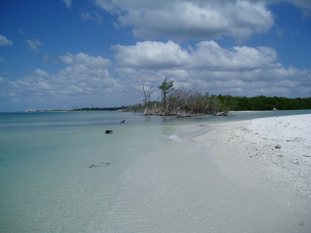
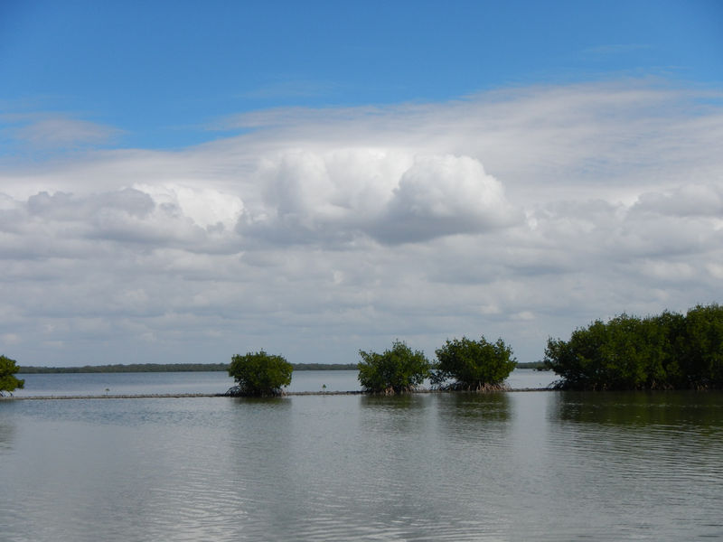
The Estero Bay Estuary is bordered on the west by a chain of barrier islands, which include Estero Island, Long Key, Lovers Key, Black Island, Big Hickory Island and Little Hickory Island, from north to south respectively. Within the estuary are hundreds of islands, many with no upland area.
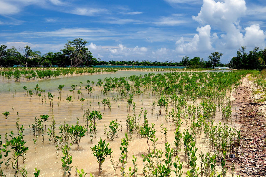
Mangrove trees are by far the most dominant vegetation in the bay, although extensive seagrass beds are found within the shallow bays and sounds.
The climate in the region is subtropical with the majority of rainfall from June to September. The estuary is not supplied with freshwater by any major river but rather by a number of small rivers and creeks.
- Estero Bay Management Plan, approved by the Governor and Cabinet in October 2015.
Estero Bay Aquatic Preserve works closely with the Estero Bay Buddies and Charlotte Harbor Aquatic Preserves to meet its mission. Volunteers are encouraged to help clean up marine debris; monitor seagrasses, and wading and diving bird rookeries; and monitor water quality in cooperation with the Charlotte Harbor Estuaries Volunteer Water Quality Monitoring Network (CHEVWQMN).
- Rookery Island Monitoring and Protection Program.
- Charlotte Harbor Estuaries Volunteer Water Quality Monitoring Network.
If you are interested in volunteering at Estero Bay, please call 239-530-1001.
2295 Victoria Ave.,
Fort Myers, FL 33901
United States
Despite heavy development in the area, the Estero Bay Aquatic Preserve is surrounded by state parks and other recreational sites offering access to the bay for boating, kayaking, fishing and more. These include Estero Bay Preserve State Park, Koreshan State Park, Lovers Key State Park, Matanzas Pass Preserve, Mound Key Archaeological State Park and the Mound House.
The Great Calusa Blueway and Estero Bay & River Paddling Trail also are nearby. Preserve staff use GIS technology to map the aquatic resources within the bay and help to organize cleanups to protect the bay and keep it beautiful.
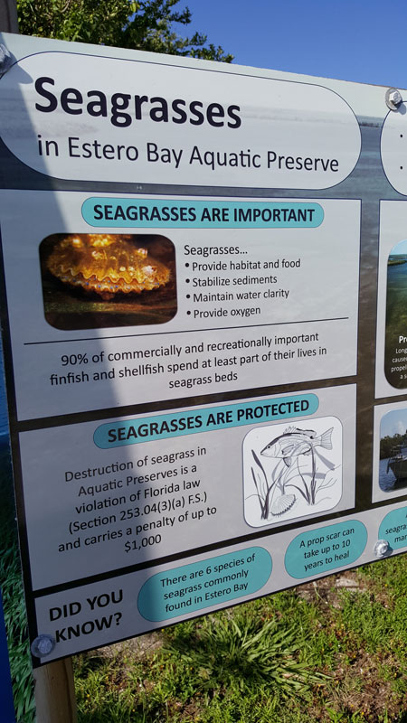
Estero Bay Aquatic Preserve staff focus their outreach efforts on educational signs (such as those alerting users of seagrasses), participation in local events and organizing wading trips. During these wading trips, participants can meander through mudflats, explore seagrass beds, and use nets and field microscopes to uncover and study animals such as starfish and seahorses.
Aquatic preserve staff also have helped educate local law enforcement on changes in seagrass protection legislation.
The Impact of Boat Propellers on the Seagrass in Estero Bay and Prevention Efforts
- View an interactive story about the damage boat propellers have had in Estero Bay and the surrounding waters, in addition to tips about prevention of damage.
There are several major archaeological and historic sites within the boundaries of Estero Bay Aquatic Preserve and the adjacent upland areas. In addition, most of the area has not been surveyed, and it is anticipated that additional sites will be located.
The sites include both Native American and European encampments and villages, but most are prehistoric shell (kitchen) middens such as Mound Key.
Due to sea level rise, the majority of coastal sites from the earliest occupation of the area lie drowned in the bay or farther out in the Gulf of Mexico.
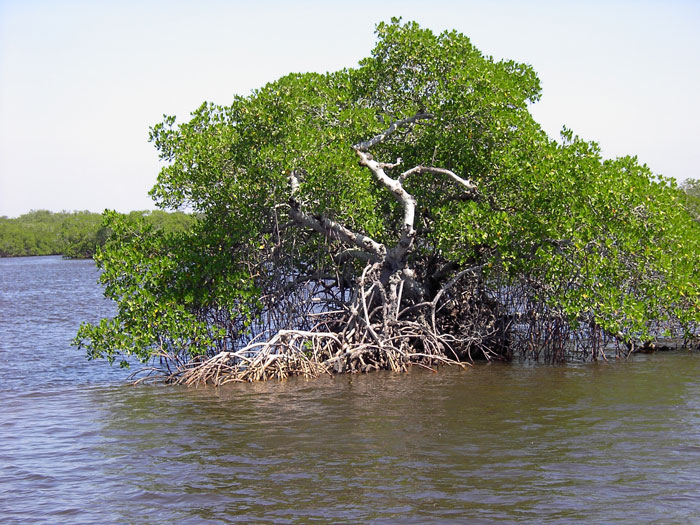
Estero Bay contains several natural community types. Although overlap between the different communities often occurs, they remain distinct community types. The dominant community type in Estero Bay is the mangrove forest, but seagrass beds, salt marshes, tidal flats, oyster bars and others are also present.
The combination of subtropical climate, the lagoon configuration, and vegetation make this estuarine complex one of the most productive in the state. Approximately 40% of the state's endangered and threatened species are found within this area. The estuary also indirectly supports a variety of commercial and sport fisheries by providing nursery area, which substantially adds to the local economy. The estuary is also an important home for bird nesting colonies and a valuable stopover area for migrating birds.
Estero Bay Aquatic Preserve staff have helped identify three rookery islands within and adjacent to Estero Bay as potential Critical Wildlife Areas. Monitoring data from aquatic preserve staff was used in the determination of these CWAs.
Listed species found in the Estero Bay aquatic preserve include:
Plants
- Twisted air plant: State Threatened
- Giant wild pine: State Endangered
Birds
- Red knot: Federally Threatened
- Snowy plover: State Threatened
- Piping plover: Federally Threatened
- Marian's marsh wren: State Threatened
- Little blue heron: State Threatened
- Reddish egret: State Threatened
- Tricolored heron: State Threatened
- Southeastern American kestrel: State Threatened
- American oystercatcher: State Threatened
- Wood stork: Federally Threatened
- Roseate spoonbill: State Threatened
- Black skimmer: State Threatened
- Least tern: State Threatened
- Roseate tern: Federally Threatened
Reptiles
- American alligator: Federally Threatened (similarity of appearance to Threatened Species)
- Atlantic loggerhead turtle: Federally Threatened
- Atlantic green turtle: Federally Threatened
- American crocodile: Federally Threatened
- Leatherback turtle: Federally Endangered
- Atlantic hawksbill turtle: Federally Endangered
- Kemp's ridley turtle: Federally Endangered
Mammals
- Big Cypress fox squirrel: State Threatened
- Florida manatee: Federally Threatened
Fish
- Smalltooth sawfish: Federally Endangered
Interested in subscribing to DEP newsletters or receiving DEP updates through email?
Sign UpAbout DEP
The Florida Department of Environmental Protection is the state’s lead agency for environmental management and stewardship – protecting our air, water and land. The vision of the Florida Department of Environmental Protection is to create strong community partnerships, safeguard Florida’s natural resources and enhance its ecosystems.
Learn MoreContact
3900 Commonwealth BoulevardTallahassee, Florida 32399-3000 Public.Services@FloridaDEP.gov 850-245-2118
